Tuscany Crossing
Castiglione dʼOrcia
,
Italy
10 - Apr 11
Tuscany Crossing - Be part of the starting field at 10 Apr 2026 in Castiglione dʼOrcia, Italy. With distances ranging from 33.6 km to 99.4 km, this event offers the perfect challenge for all participants. Against the beautiful backdrop of Castiglione dʼOrcia, an unforgettable experience awaits you - whether you want to test your limits or simply enjoy the course.
99.4
mi
TC100M
99.4mi
18743ft
18753ft
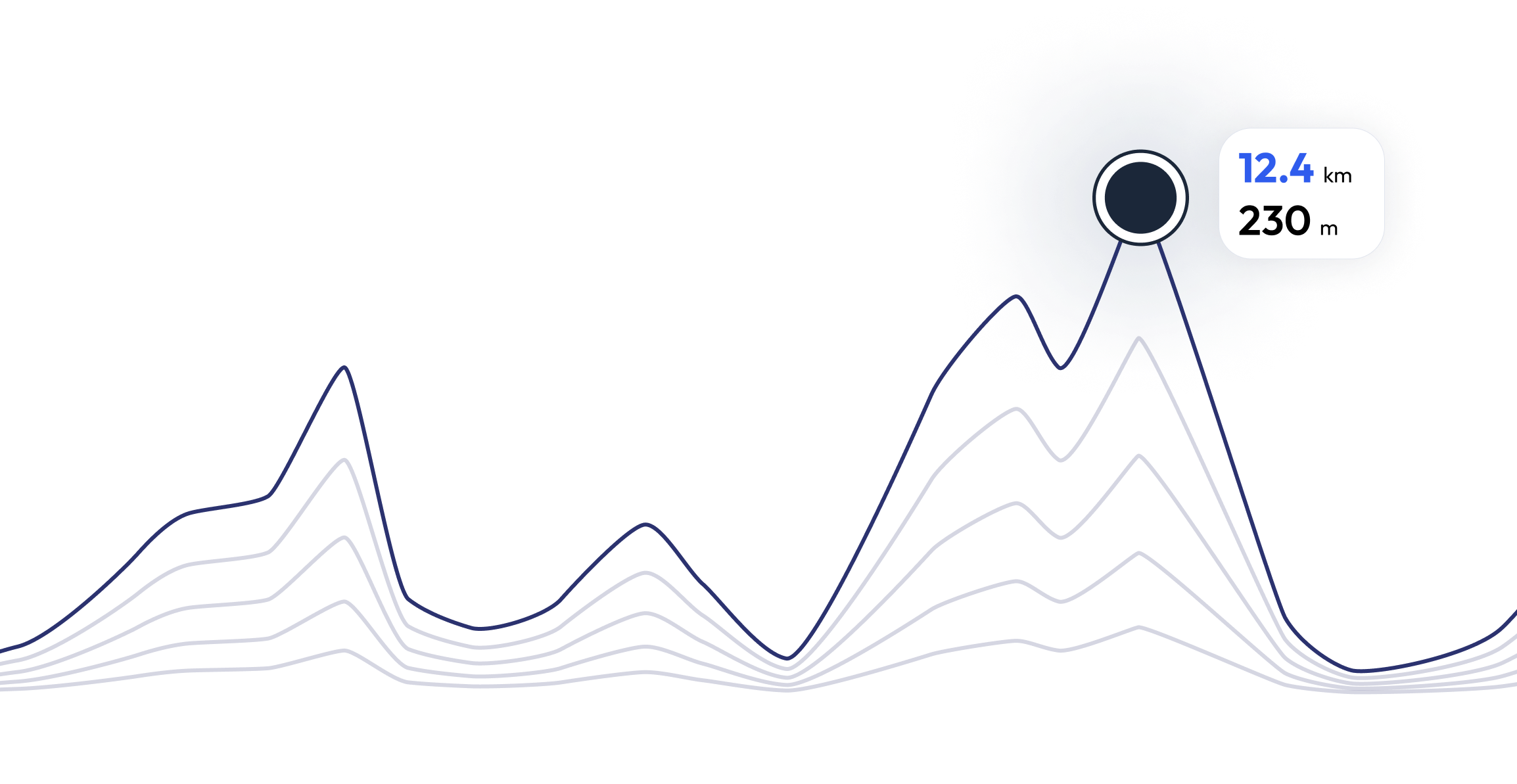
Register and unlock exclusive features
Registered community members can navigate each section of the elevation profile, and follow the coordinates on the map. They can also download the gpx file. Unlock these and many other exclusive features in a couple of clicks
Tuscany Crossing - Find your perfect running pace 99.4 mi
Curious what pace you need for each section of the course to reach your target time based on the elevation profile of the race? Try our pace calculator and discover different scenarios to optimize your Tuscany Crossing race tactics.
Calculated running time
13:20:00
0
km
22
m
4.33
min/km
1
km
102
m
5.12
min/km
2
km
83
m
4.47
min/km
3
km
11
m
4.23
min/km
4
km
26
m
4.32
min/km
FAQ - Tuscany Crossing 99.4 mi
161 km 5220 D+ time limit 32 hours after the experience of the first two editions of the 100 miles, some precautions were necessary, so a real restyling of the track was made, practically dividing the Valdorcia into three parts: the " Valdorcia of Wine" which will go up to Montalcino to return to life base in Castiglione d'Orcia, the "Classic Valdorcia" it will travel through the territories of San Quirico d'Orcia and Pienza which with the 53 km will return to Castiglione d'Orcia and the "Mountain Valdorcia" which will rise to 1100 meters above sea level.
Tuscany Crossing takes place between 10 Apr 2026 and 11 Apr 2026
Tuscany Crossing takes place in Castiglione dʼOrcia, Italy
Tuscany Crossing : There are a total of 3 courses
The shortest distance available is 33.6 km, and the longest on is 99.4 km
Although there is no general rule for the minimum preparation time, we recommend at least 12 weeks of training for a race like Tuscany Crossing
If you want to prepare for Tuscany Crossing , running.COACH offers dynamic training plans tailored to the requirements. Whether you're training for distance, speed or endurance, we have customized plans to help you reach your full potential on race day.
Register now
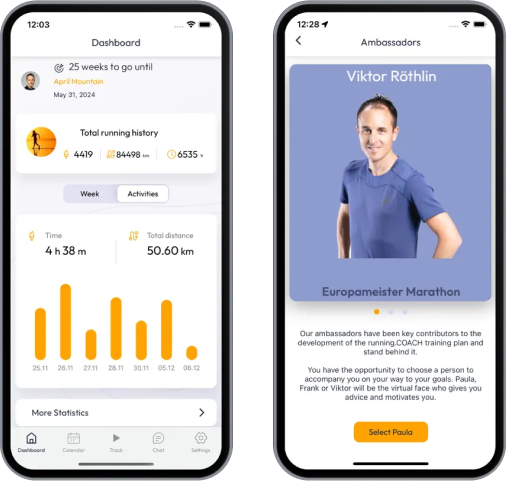
Train for 99.4 mi - Tuscany Crossing
Tuscany Crossing - Prepare yourself optimally for your race with running.COACH! Our training plans, supported by artificial intelligence, dynamically adapt to your progress and help you achieve your target time. Whether you're aiming for a personal best or planning a successful finish, structured workouts, precise feedback and intelligent adjustments will keep you motivated and well prepared. Become part of a community that will get you to the finish line stronger than ever before!
What runners say about us?
Be part of Tuscany Crossing – Join the running.COACH community and take your training to the next level!


